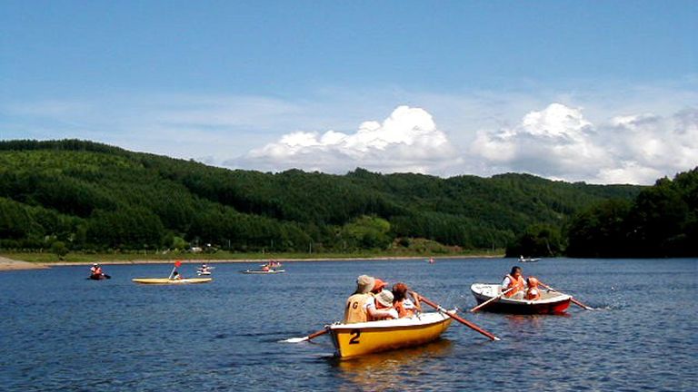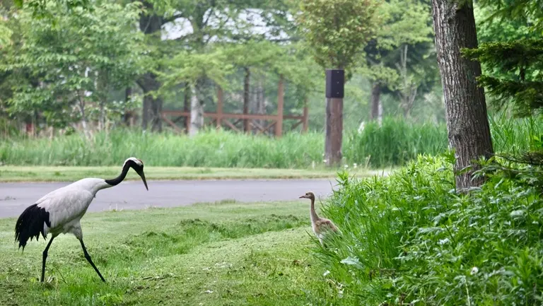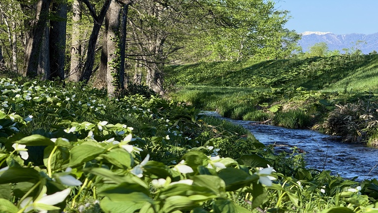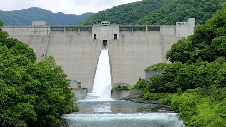
The Tokoro River, which has its source in Mt. Mikuni (alt. 1,541 m), flows through Oketo and Kunneppu towns and into the Sea of Okhotsk from Kitami City. Many white-tailed eagles and Steller’s sea eagles that have been designated as protected species by the national government are observed in its basin. A colony of purple azalea designated as a natural monument by the Hokkaido government and a forest of large-diameter Japanese elm trees along the Muka River, which flows parallel to the Tokoro River, are symbols of the region. At the Tokoro River Estuary Site, relics, remains of pit-dwellings and tomb pits from the Jomon era have been found.
River data
●Channel length
120 km
●Catchment area
1,930 km2
●Origin of the river name
The name Tokoro comes from to-kor-pet (river with a marsh) in the Ainu language. Despite its name, the river is not connected to any to (lake or marsh) on the present-day map. Some say that it was named that way because a tributary of the Tokoro River called Raitokoro was connected with Lake Saroma.
* Reference: Hokkaido Place Names (YAMADA Hidezo)