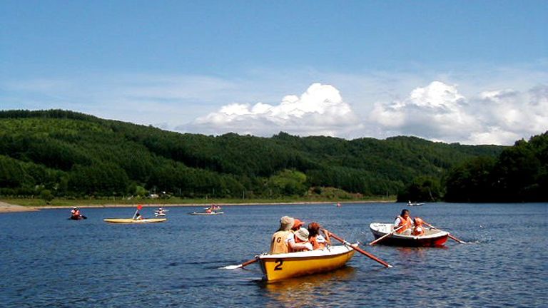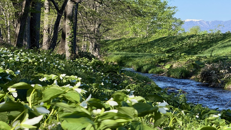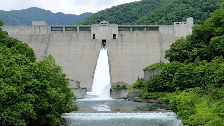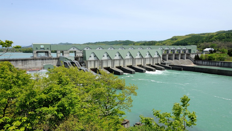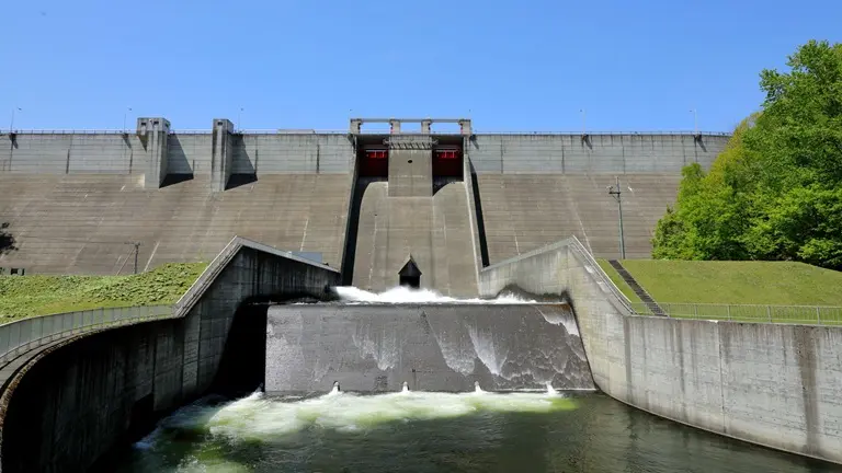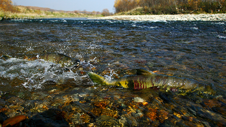
The Abashiri River, which has its source in Mt. Ahorodake (alt. 978 m), flows through Tsubetsu and Bihoro towns, into Lake Abashiri from Memambetsu, Ozora Town, then into the Sea of Okhotsk via downtown Abashiri. There are campsites and multipurpose sports facilities by Lake Abashiri. There are activities to enjoy the lake in all seasons, such as canoeing, boating and sports from spring to autumn and pond smelt-fishing and snowmobile riding in winter when the lake is completely covered with ice. The 37,000-hectare area, which has a group of seven large and small lakes and marshes, including Saroma, Notoro, Abashiri and Tofutsu lakes, and sand dunes and grassland surrounding them, has been designated as Abashiri Quasi-National Park.
River data
●Channel length
115 km
●Catchment area
1,380 km2
●Origin of the river name
The name Abashiri is said to come from a-pa-sir (land we found) or apa-sir (gateway land) in the Ainu language.
* Reference: Hokkaido Place Names (YAMADA Hidezo)