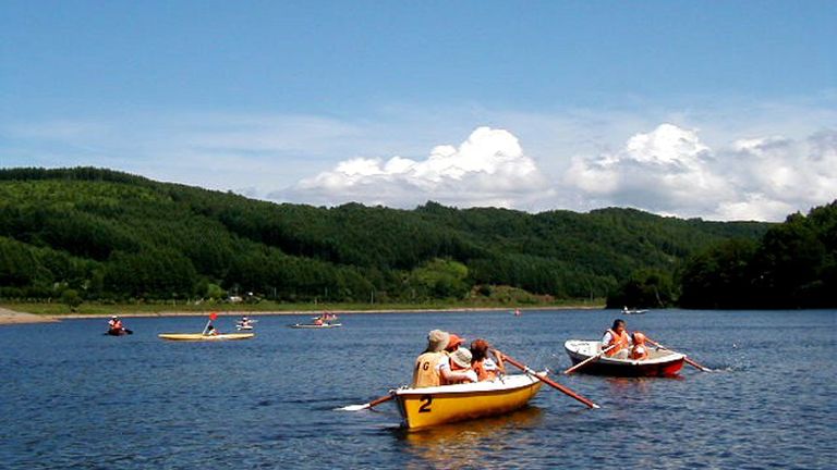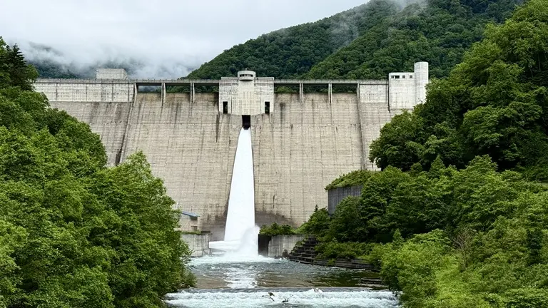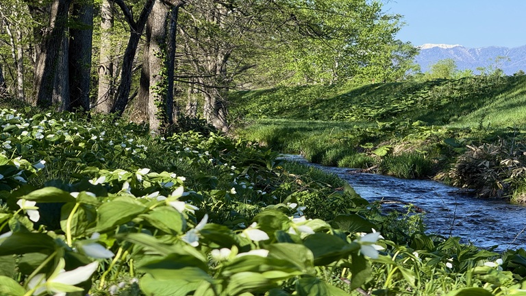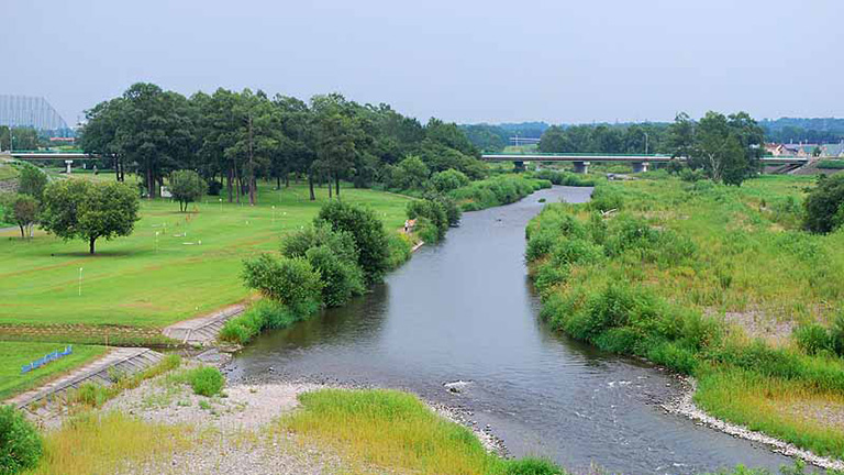
The Otofuke River has its source in Mt. Otofuke (alt. 1,932 m), which is one of the Ishikari Mountains, and gathers water from the main peak of Mt. Ishikaridake and other mountains, pours into Lake Nukabira, flows into an extensive upland cropping area and across downtown Otofuke and merges with the Tokachi River. By Lake Nukabira in Kamishihoro in the upper reaches of the Otofuke River are popular tourist spots, including Nukabira Gensenkyo and the Taushubetsu Bridge known as a “phantom bridge.” Shihoro Town in the middle reaches is popular for rainbow trout and landlocked masu salmon fishing. Otofuke Town where the river joins with the Tokachi River has the Yanagimachi Square riverside green area by the Otofuke River, where park golf can be enjoyed.
River data
●Channel length
94 km
●Catchment area
740 km2
●Origin of the river name
The name Otofuke comes from oto-puke (hair grows) in the Ainu language.
* It is said that the name was given because willows were growing thickly like hair across the Otofuke river basin, but it is not known if this information is correct or not. (Obihiro Development and Construction Department website.)