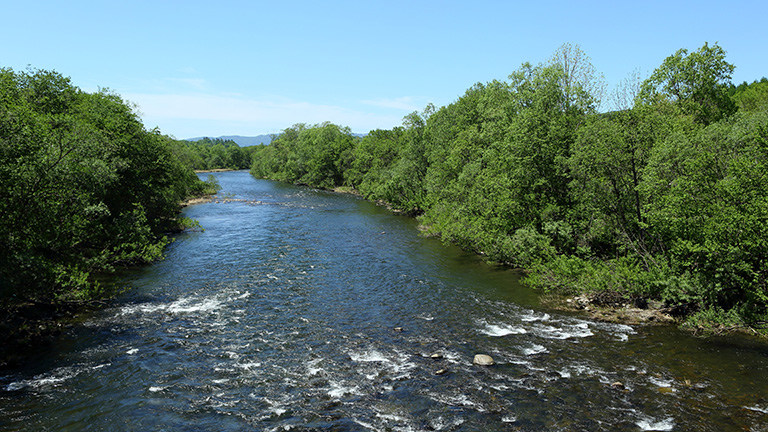
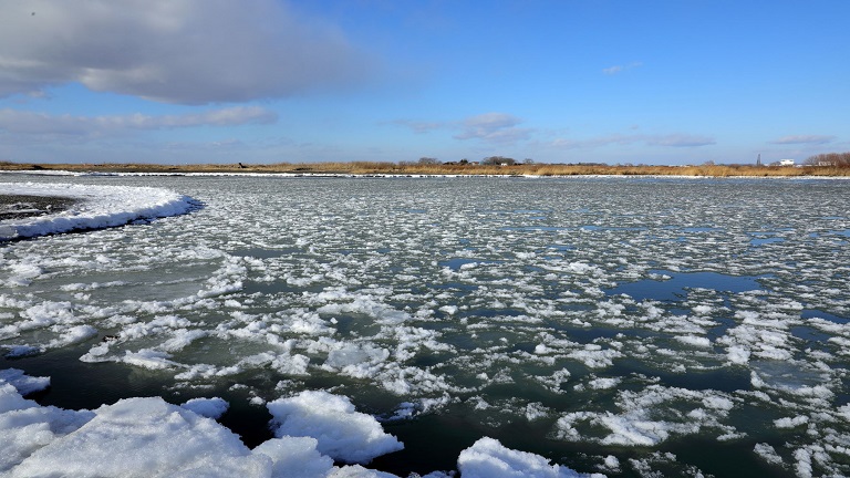
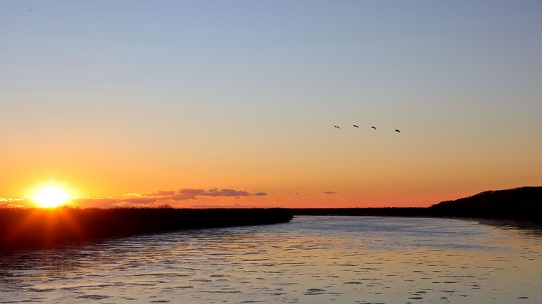
The Nayoro River has its source in an unnamed mountain (alt. 674 m) of the Kitami Mountains and merges with the Teshio River in the northern part of downtown Nayoro. Shimokawa Town and Nayoro City in its basin have developed the Nayoro River Area River and Town Development Plan to promote cycling around the Nayoro River and Sanru Dam and cooperation with tourist, hot spring and accommodation facilities in the surrounding area.
River data
●Channel length
64 km
●Catchment area
743 km2
●Origin of the river name
The name Nayoro comes from nai-or-putu (land by the river) in the Ainu language, although there are different theories as to its origin, including (1) nai-or-putu (in the swamp [mouth of a valley into which mountain streams flow into]) and (2) nai-putu (mouth of the river [where the Nayoro River merges into the Teshio River]).
* Reference: Hokkaido Place Names (YAMADA Hidezo)

