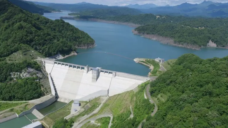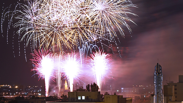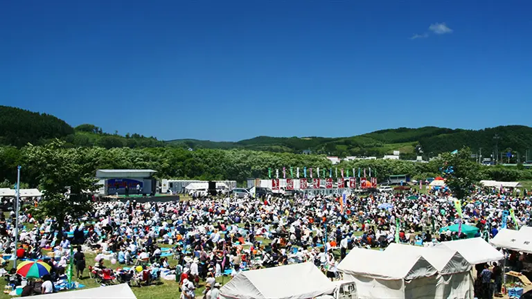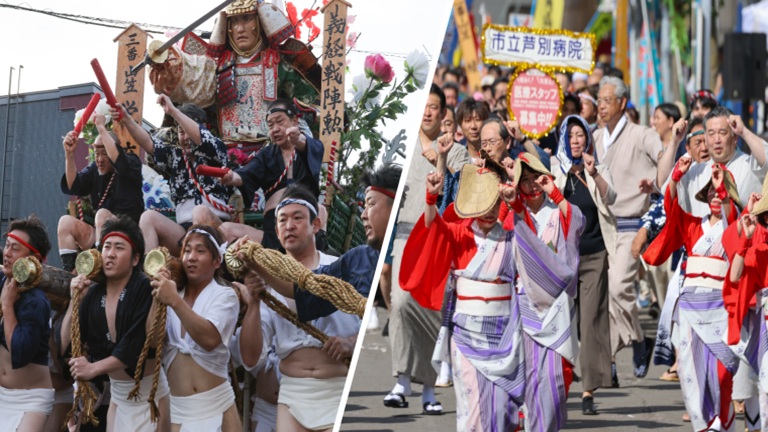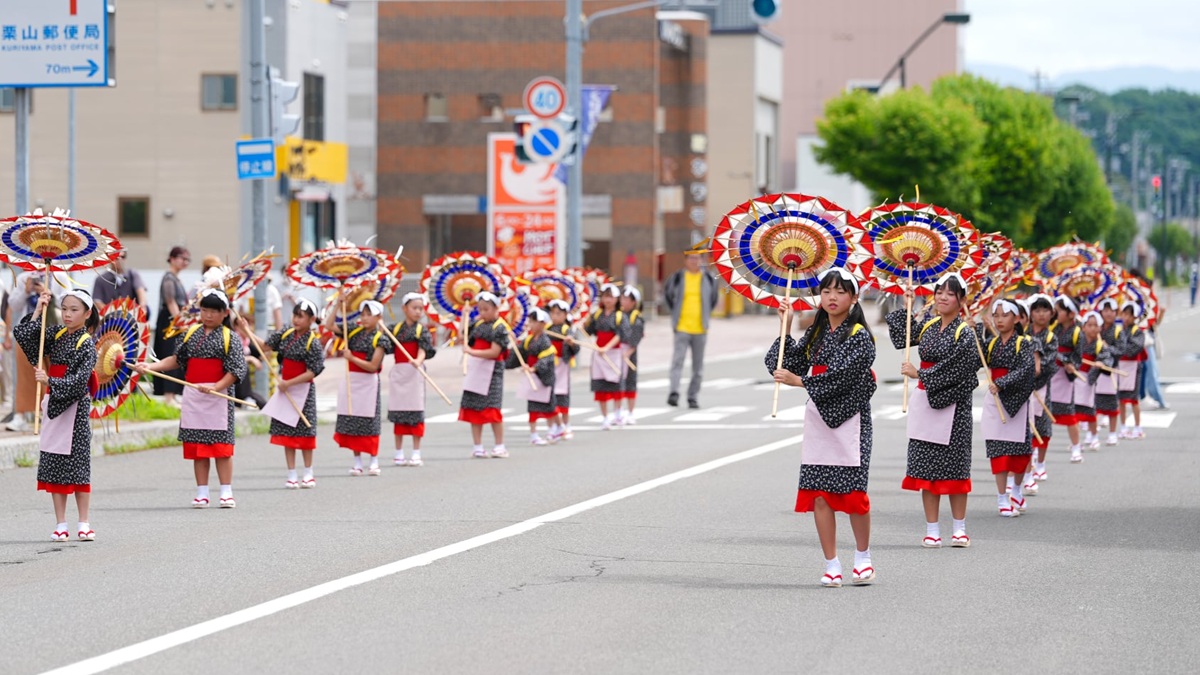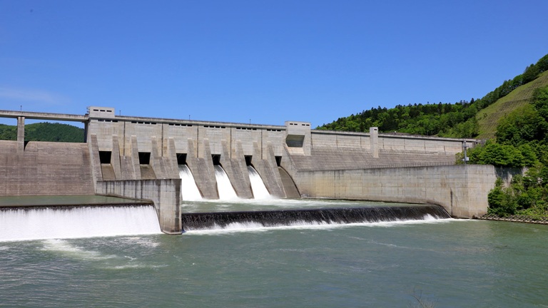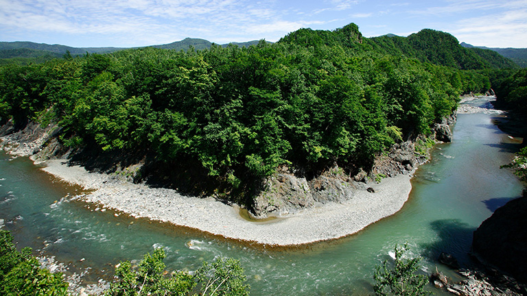
The Saru River, which has its source in Mt. Kumami in the northern part of the Hidaka Mountains, flows from the downtown Hidaka area of Hidaka Town into Biratori Town, merges with the Nukabira and other rivers and pours into the Pacific Ocean from the Mombetsu area of Hidaka Town. It flows through gorges surrounded by thick forests in its upper reaches, and through a rural area where stock farms, rice paddies and fields spread in its lower reaches. In Biratori Town, there are many places where the history of the basin can be learned, such as the Nibutani Ainu Culture Museum and the Historical Museum of the Saru River, and an Ainu boat launching ceremony known as Chip Sank is held. In the Mombetsu area of Hidaka Town, the Mombetsu Shishamo Festival and other events are held.
River data
●Channel length
104 km
●Catchment area
1,350 km2
●Origin of the river name
The name Saru comes from sar (reed field). A reed field (sar) used to spread in the area. There is still a place called Horosaru, which comes from poro-sar (large reed field) in the upper reaches of the river. The current Tomikawa area at the estuary of the Saru River was called Sarufuto until some years ago, from sar-putu (estuary of the Saru River).
* Reference: Hokkaido Place Names (YAMADA Hidezo)