The Shin-Kushiro River was created in 1930 after a flood control plan was formulated to protect Kushiro City from floods and overflows. The river is almost straight from the Iwabokki point to the mouth.

I left my car at the flood control memorial park and went around the Shin-Kushiro River in a cycling mood.
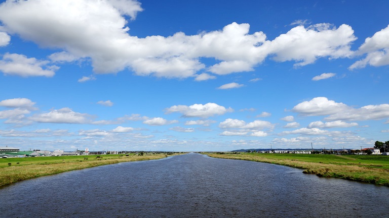
Upstream view from the Nishikou Bridge at the lowest point of the river.
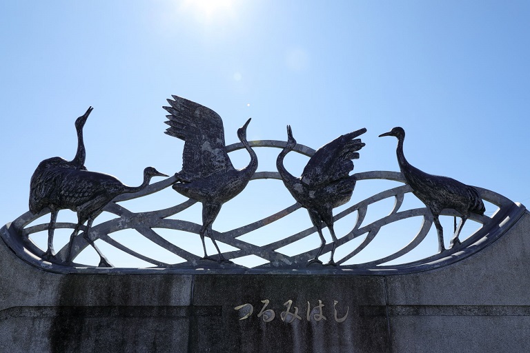
A powerful relief of a red-crowned crane on the Tsurumi Bridge.
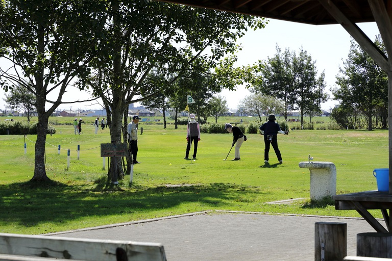
A park golf course and a baseball field have been developed in the river green area, which is a relaxing place for citizens.
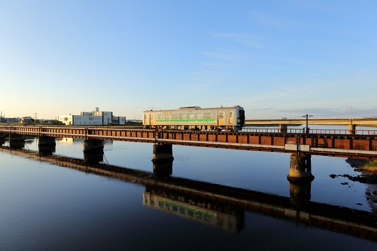
JR Nemuro Line running in the morning sun.


