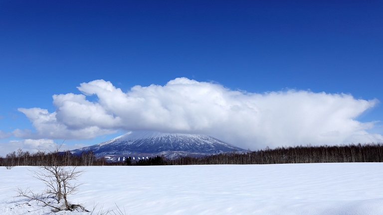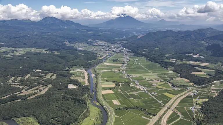
The Shiribetsu River originates in the western part of Hure-dake (Mt. Hure) and flows into the Sea of Japan through the Mt. Yotei, which rises in the center of the river basin.
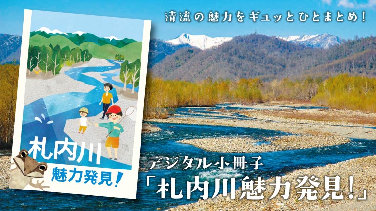
It is the largest river in the Shiribeshi region, with a 126 km long channel and a basin area of 1,640 km2. The clear and abundant water protects the habitat and growth environment of various organisms, enriches agricultural land, and the rapids at the narrowest part are used as water for power generation.
It has also been named “the river with the best water quality” many times.
In addition to being one of the best agricultural areas in Hokkaido, the basin is also home to a thriving tourism industry that takes advantage of its rich natural environment and outstanding scenery, including canoeing, rafting, and fishing.
In winter, the area is one of Hokkaido’s leading resort areas, attracting tourists from abroad in search of high-quality snow.
This time, we would like to introduce you to the fascinating Shiribetsu River, from its headwaters to its mouth, as we took the opportunity to went down it from the sky.
This video was provided by “Rankoshi Town Shellfish Museum” and “Kutchan Fudokan” and digest edited to 5 minutes and 39 seconds by Otaru Development and Construction Department with permission.
Video of Aerial view of the Shiribetsu River (digest version) [taken on October 31, 2020]
Kawatabi Hokkaido YouTube URL
https://www.youtube.com/watch?v=zJaqi-phPbQ&t=4s
◆Original video is here. Link to Rankoshi Town Shellfish Museum.
Video of From the source to the mouth of Shiribetsu River [taken on October 31, 2020]
Kawatabi Hokkaido YouTube URL
https://www.youtube.com/watch?v=530PPUg29wo&t=1s
◎Rankoshi Town Shellfish Museum HP → Here
◆Kawa Photo Album Shiribetsu River → Here