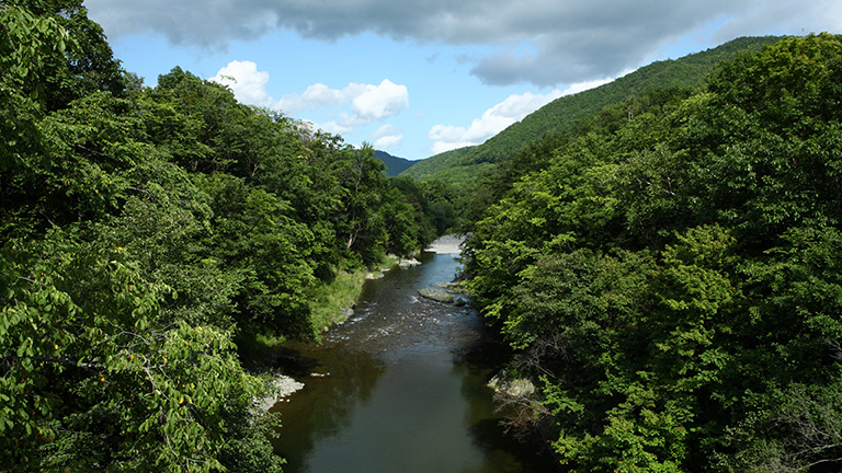
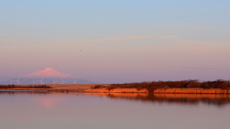
The Yubetsu River flows from Mt. Tengudake (alt. 1,553 m) in Engaru Town and into the Sea of Okhotsk from Yubetsu Town. In its basin, agriculture (mainly dairy farming) and fisheries are prospering. Yubetsu at the estuary is one of the leading scallop producing areas in Japan.
Japanese ash, Japanese elm and other riverside forests grow thickly by the river, where salmon and pink salmon swim upstream. Many anglers come here even from outside of Hokkaido to enjoy mountain stream fishing of cherry salmon (landlocked masu salmon) and rainbow trout.
River data
●Channel length
87 km
●Catchment area
1,480 km2
●Origin of the river name
There are different theories concerning the origin of the name Yubetsu, such as yupe (shark), yupe-ot (many sturgeon) and ipe-ot-i (place with fish in abundance).
* Reference: Hokkaido Place Names (YAMADA Hidezo)

