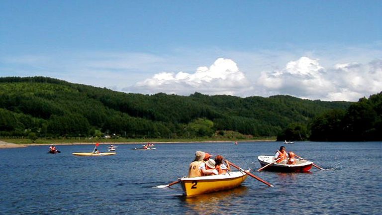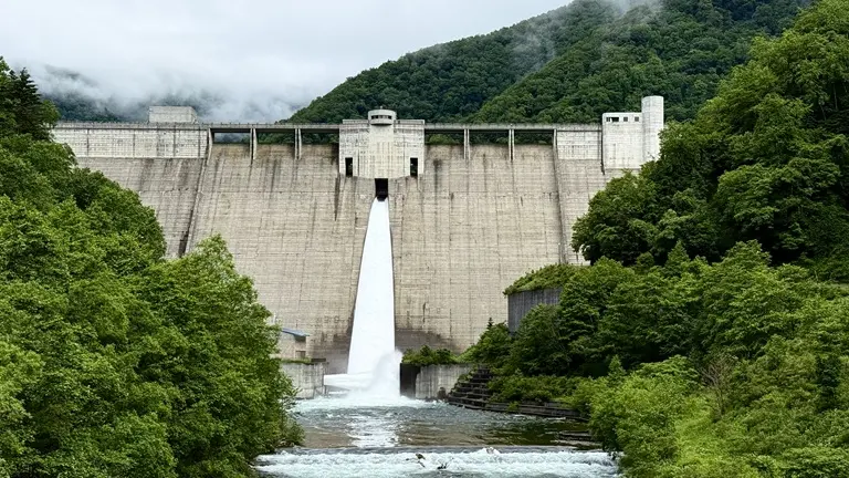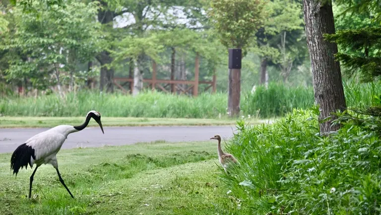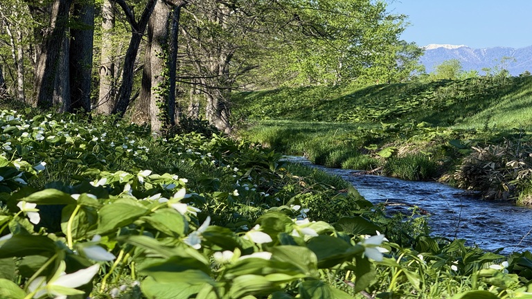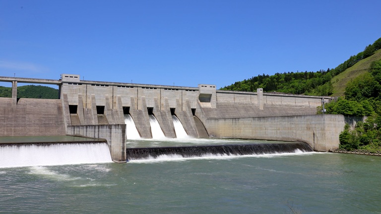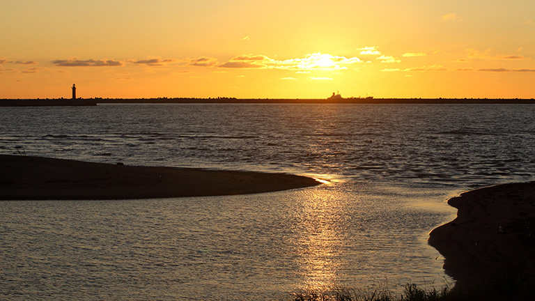
The Rumoi River has its source at the southern end of the Teshio Mountains, flows northwest and into the Sea of Japan from downtown Rumoi. Its basin is blessed with abundant natural features and many scenic spots nurtured by the area’s rich history and climate. Rumoi City is surrounded by Shokanbetsu-Teuri-Yagishiri Quasi-national Park and is the front gateway to the attractive sightseeing route on the west course of Hokkaido leading to Rishiri-Rebun-Sarobetsu National Park and other tourist spots.
River data
●Channel length
44 km
●Catchment area
270 km2
●Origin of the river name
Rumi’s former name Rur-mo-t-pe means tide, quiet, enter and water. Since the water flows slowly due to the tide going up deep into the upper reaches, the name means “a place (river) where the tide is (always) quiet.”
* Reference: Hokkaido Place Names (YAMADA Hidezo)