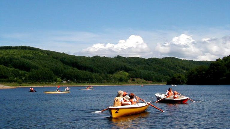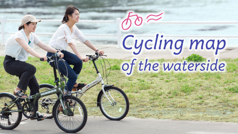
As the popularity of cycling increases, the number of visitors to Hokkaido, both domestic and international seeking a chance to cycle across the vast land, has also shown an increase. The reasons for its popularity are not only its scenic beauty but also the roads with light traffic and wide lanes that riders are comfortable with. Numerous cycling roads have been established by local authorities and promotional groups, one of the most recommended being the cycling road along the water.
Three reasons why we suggest cycling along the waterfront.
◎First of all, the road is a continuum of mildly undulating hills, with no sudden steep hills to surprise the rider.
◎There are few traffic lights so you can ride without having frequent stops.
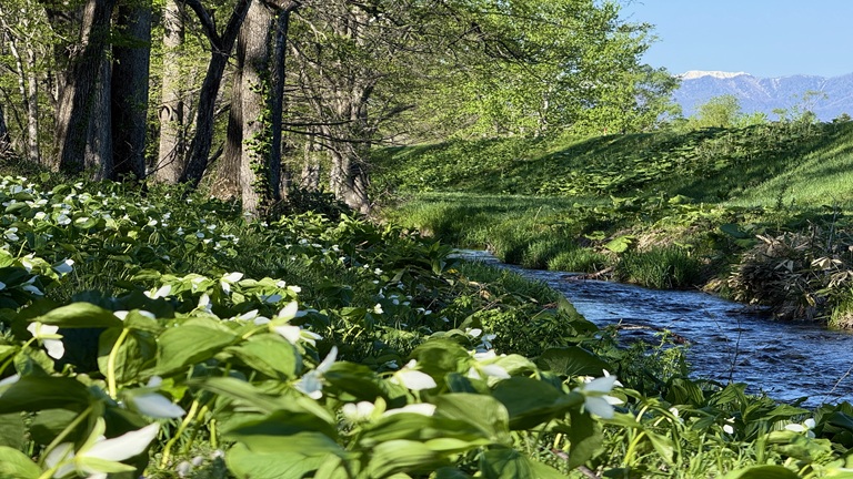
◎Being near the water means you can enjoy the refreshing breeze blowing off of the water’s surface.
So! We decided to pick out a few of the best cycling roads that take you along the waterfront and rivers of Hokkaido!
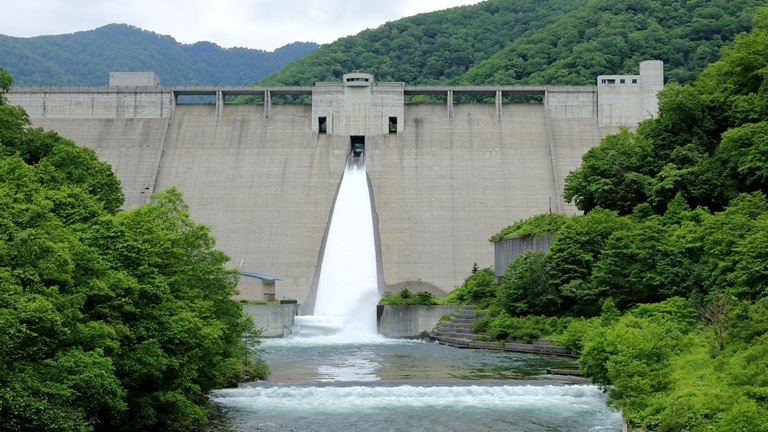
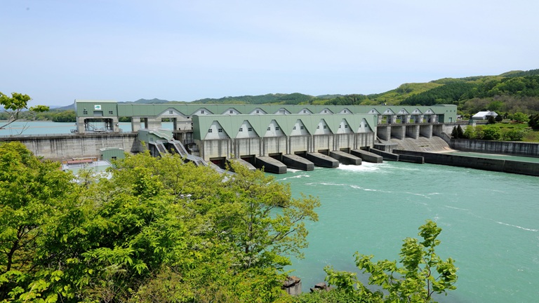
●Course along the rivers and pastures (76 km) and other
Ishikari River Region Cycling Map Southern Ishikari & Southern Sorachi Region (Ishikari River Regional Committee)
Here we introduce three courses according to experience level, that take you along the Chitose and Izari River, and along the Umaoi Canal River. We will also introduce “charimeshi (food enjoyed while cycling) and sweets” we found along the way.
⇒Cycling map information PDF(2.2MB)
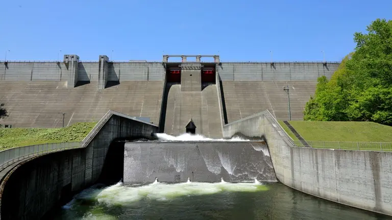
●Shiribetsu River Cycling Course River Course Map (approx. 24km)
The Shiribetsu River Bicycle Course is a great way to enjoy the view of the Niseko mountain range and Mt.Yotei.
The course starts at the mouth of the Shiribetsu River at Isoya Bridge in Rankoshi-cho and ends at Toyokuni Bridge in downtown Rankoshi-cho, and there is a cherry blossom park along the way.
The course takes about one hour to enjoy the scenery of rice paddies and the magnificent nature of Rankoshi-rice.
⇒Shiribetsu River Cycling Course River Course Map [English] PDF(5MB)